Our guide, Mr. Trung picked us up at the hotel at 7:30 with a car and driver. Mr. Trung is 67 years old and served as an officer with the South Vietnamese forces. From Hue we drove to a number of historical sites. To be honest it was a bit of information overload and our high school history was put to the test.
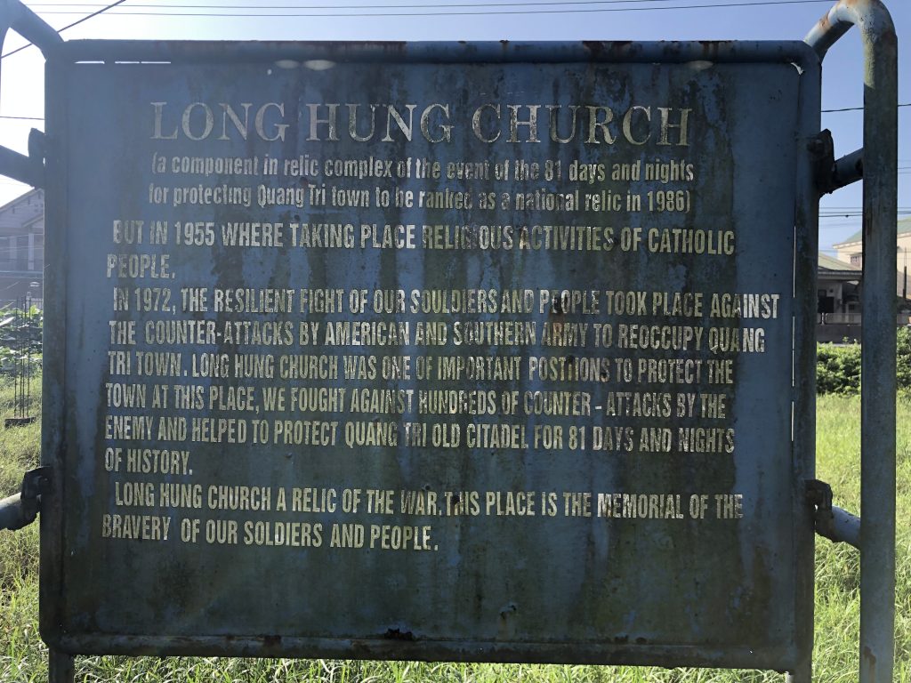
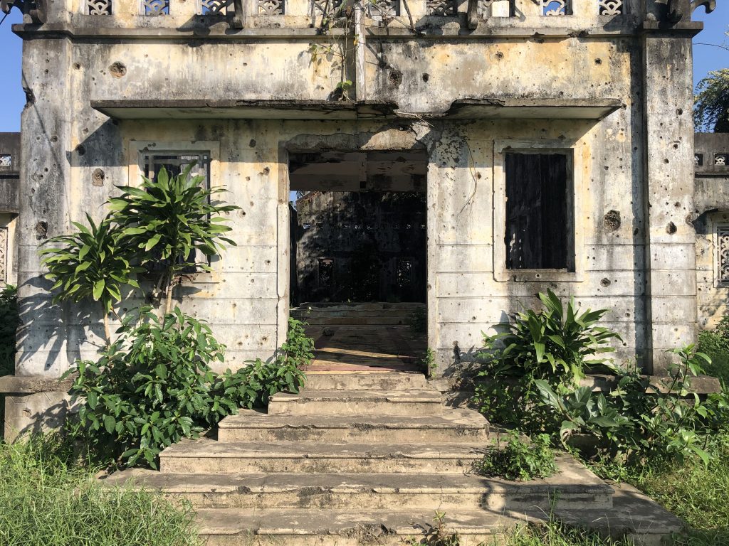
Thousands of people were trying to escape at the same time as the soldiers. Two bridges they would have needed to escape had both been destroyed and people had no where to go. Both SV soldiers and civilians were killed by artillery and infantry weapons. Our guide said there was fighting for 81 days, with approximately 10,000 civilians, 10,000 SV soldiers and 16,000 NVA killed. The highway that runs directly past this church is call the Highway of Horror because of all the deaths of civilians and military. While there isn’t much left of the church itself, the walls are peppered with bullet holes.
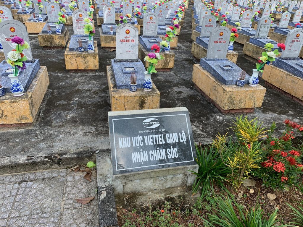
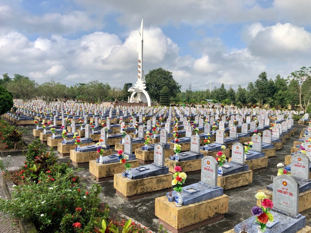
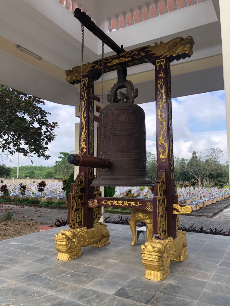
Our next stop was at a North Vietnamese military cemetery seen in pictures above. There are remains of approximately 3000 soldiers there, many are un-identified. Our guide told us that the South had no military cemeteries because the soldiers were either sent home or the South Vietnamese military cemeteries were removed by the North.
The Rockpile is located in South Vietnam approximately 10 miles (16 km) from the southernmost boundary of the DMZ and 16 miles (26 km) west of Dong Ha. A Marine reconnaissance team described the cone shaped as a “toothpick-type mountain stuck out in the middle of an open area with a sheer cliff straight up and down”.[1] The mountain rises almost 790 feet (240 meters) from the Cam Lo River bottom and sits astride several major infiltration routes from North Vietnam and Laos. The visually dominating figure, which would come to be a familiar landmark for soldiers fighting the war for the DMZ, sits just one kilometer from the vital Route 9. Impressive as it was within the immediate vicinity, the Rockpile is overshadowed by other, much higher hills in nearly every direction. To the Rockpile’s northwest is Dong Ke Soc mountain that stands at over 2,200 feet (685 meters), to the direct north is Nui Cay Tri (later known as Mutter’s Ridge after the radio call sign of the 3rd Battalion, 4th Marines who would defend it), and to the northeast is Dong Ha Mountain.[2] Atop the Rockpile’s is a plateau-like summit that is 40 feet long by 17 feet (12 by 5 m) across at its widest point.[3]
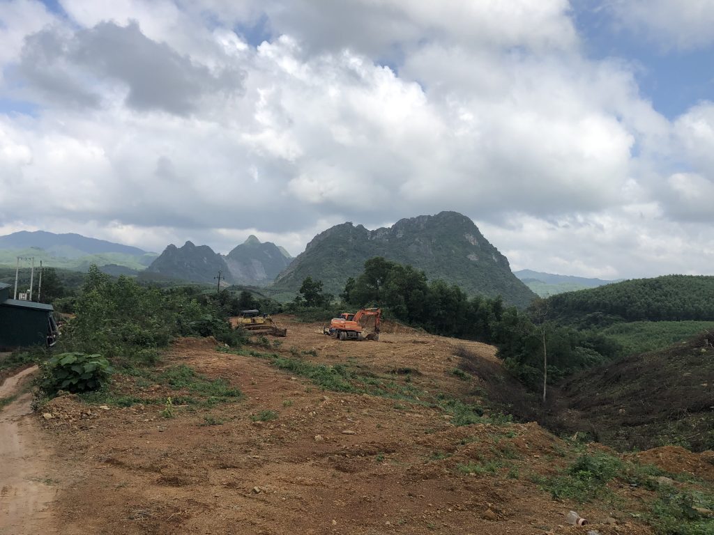
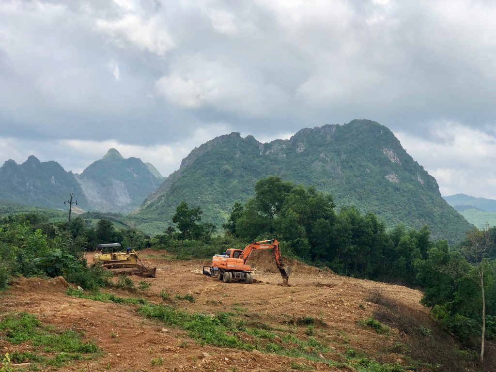
Next stop was Khe Sanh Military Base. The current communist government of Vietnam pulls no punches in their version of history. The museum is one sided making the American military look weak. They portray them in a negative way. Considering the US was here fighting with the South Vietnamese army, the winner obviously gets to portray the history their way.
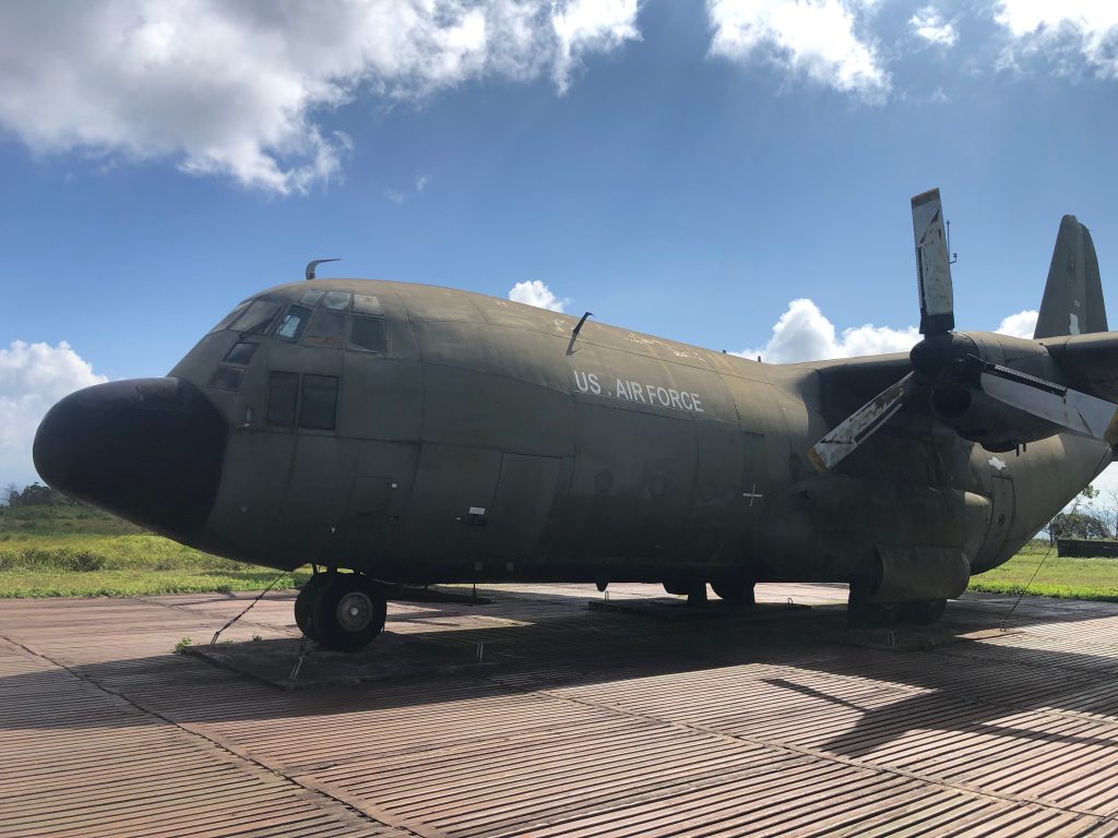
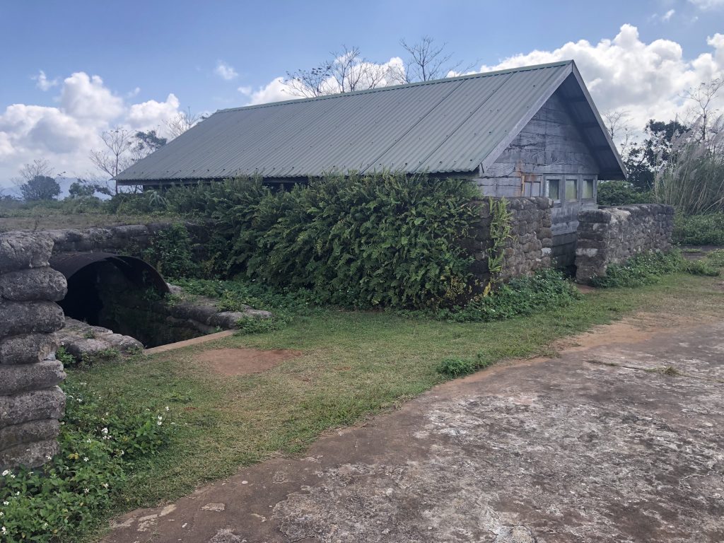
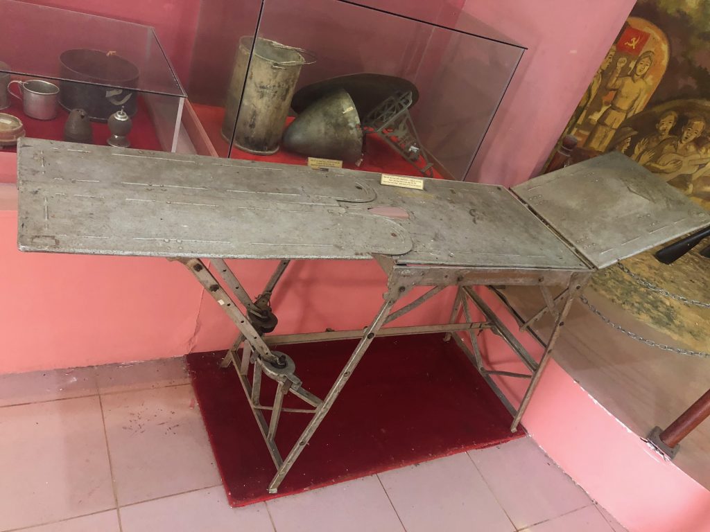
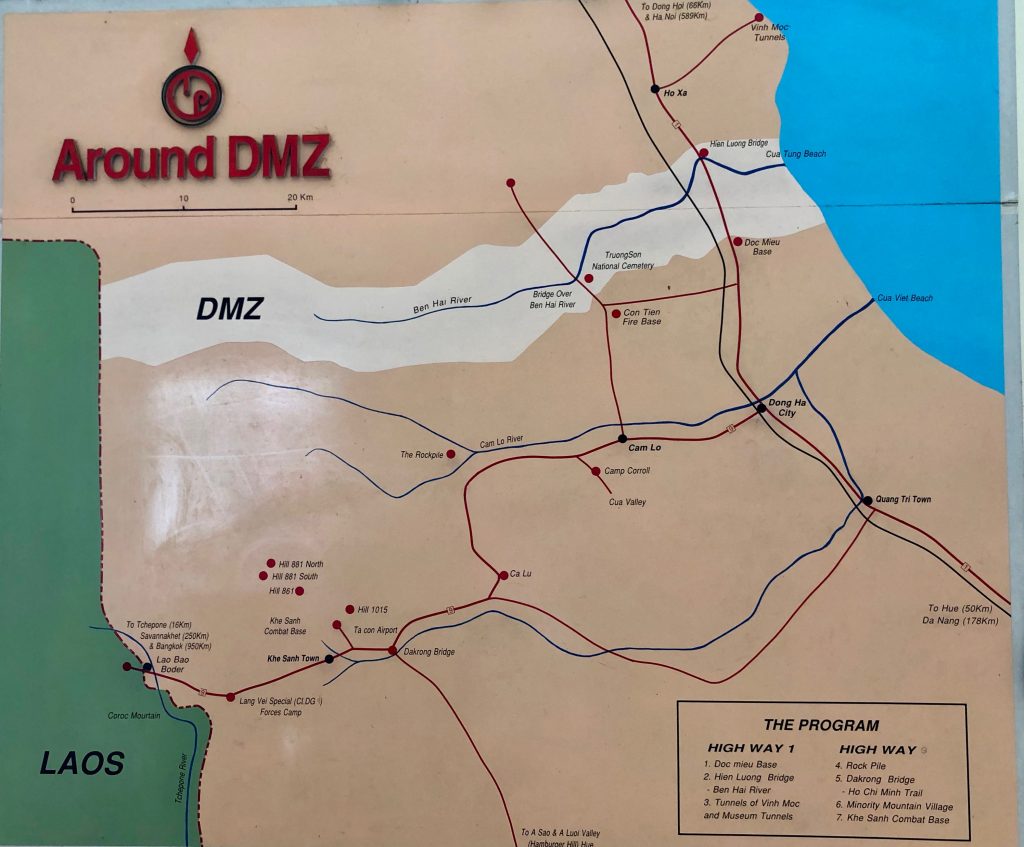
The Khe Sanh base was built in 1962 and in use until 1975. There are various US military artifacts displayed alongside North Vietnamese equipment, mostly small arms.
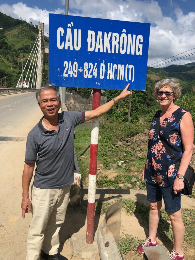
We stopped at the bridge along the Ho Chi Minh trail at the Dakrong Bridge. This trail was a walking trail through the dense jungle. The trail goes from Hanoi to Saigon and cuts through Laos and Cambodia.
The Ho Chi Minh Trail (now highway QL14) intersects Highway 9 on the other side of the Dakrong Bridge. The bridge was the main access point to the trails during the war, and was bombed and rebuilt repeatedly throughout the conflict. The current bridge was built in 1974.
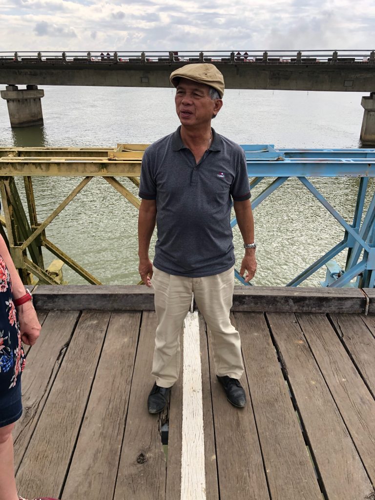
We also spent some time on the border between N Vietnam and S Vietnam at the Hien Luong bridge that crosses the Ben Hai river. The is at 17 degrees parallel. There is a line on the middle of the old bridge marking the border at the centre of the river. This bridge was originally built by the French and is now only a walking bridge. The North side of the bridge is Blue (wikipaedia incorrectly says its Red) and the Southern half is Yellow.
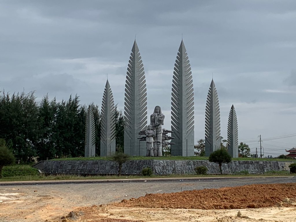
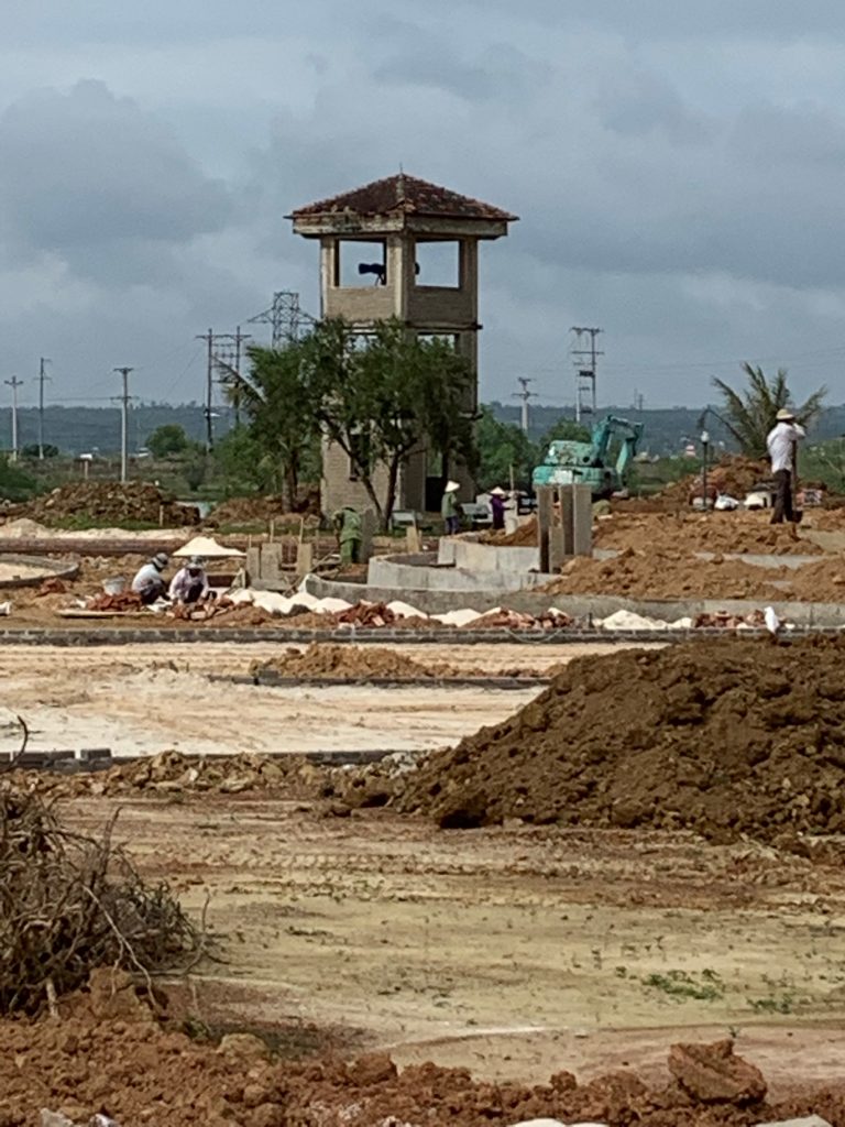
There were speakers on both sides of the river blasting audio propaganda to the other side. One can only imagine the noise in the middle or any where nearby.
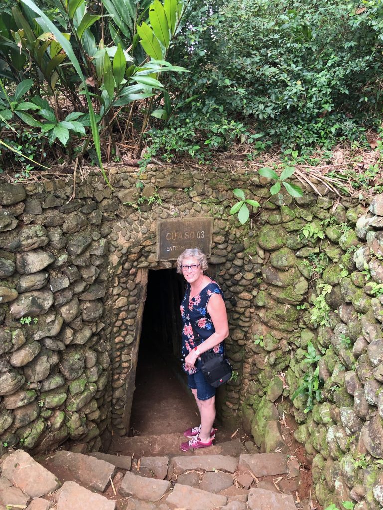
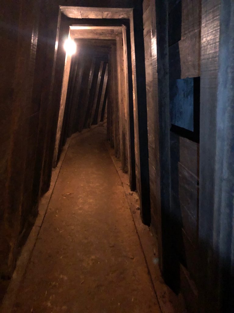
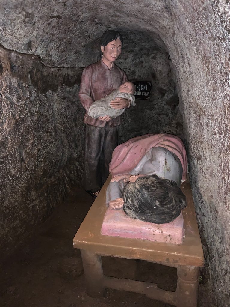
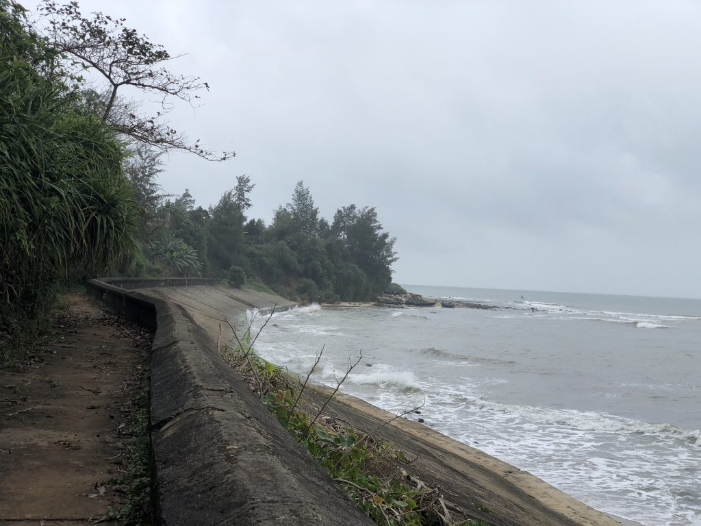
Our last stop was the Vinh Moc tunnel complex built by the North Vietnamese villagers in Quang Tri, Vietnam to escape the bombing. They were built in 3 levels to a depth of 30 metres. They were constructed in several stages beginning in 1966 and used until early 1972. The complex grew to include wells, kitchens, rooms for each family, a maternity / health care spot and armament storage spaces. The tunnels ran down hill to the ocean, this allowed them to drain naturally into the sea. Total length of the original tunnels were nearly 2,000 metres long with 6 entrances to the tops of the hills and 7 entrances to the South China Sea. The surface of the area has been largely cleared which makes the bomb craters visible. During the war it was dense foliage. There were 17 babies born in the tunnels and apparently 16 of those born still are living and reside in the small adjoining fishing village. The USA release over 9,000 tons of bombs on the area with a ratio of 7 tons of bomber on average per person (wikipedia).
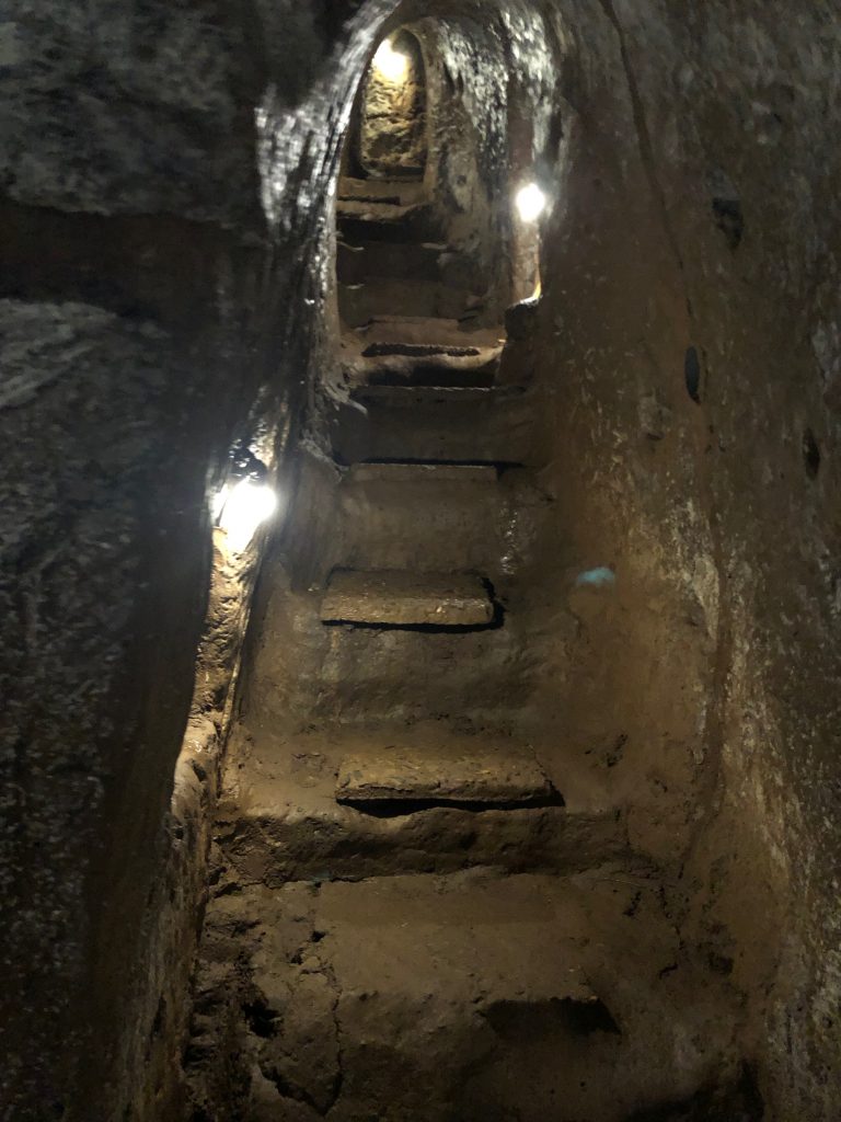
The tunnels have been made larger and safer for non Vietnamese tourists. Even the larger tunnels were not large enough for us to stand up. We would have been on our knees in the family rooms. We used flashlights to make our way on the tour with a private guide. The start of the tunnel took 25 steps to get to the first level. Coming up the stairs bent over caused burning in the glutes as we exited the tunnels. The temperature stays at approximately 25 degrees year round. It was very humid and a bit muddy with uneven stepping stones to try to keep your feet dry.
If you have made it here to the end, thank you for reading ( cảm ơn in Vietnamese ). Please consider clicking on “Subscribe” above on the menu and receive regular updates when we make new posts on our blog. Thanks for reading.
